Land Size Analysis
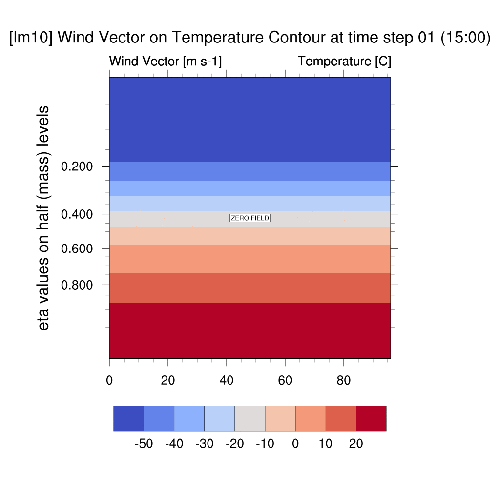
1. Wind Vector & Temperature Contour
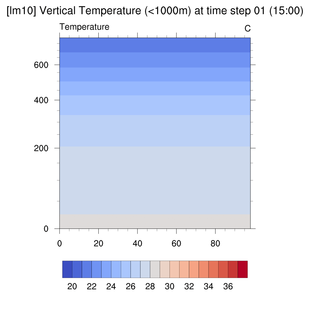
2. Vertical Temperature Contour
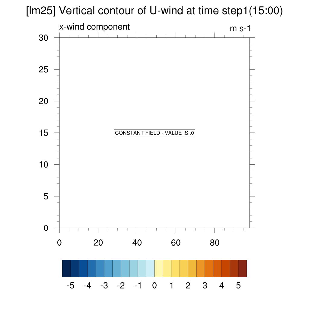
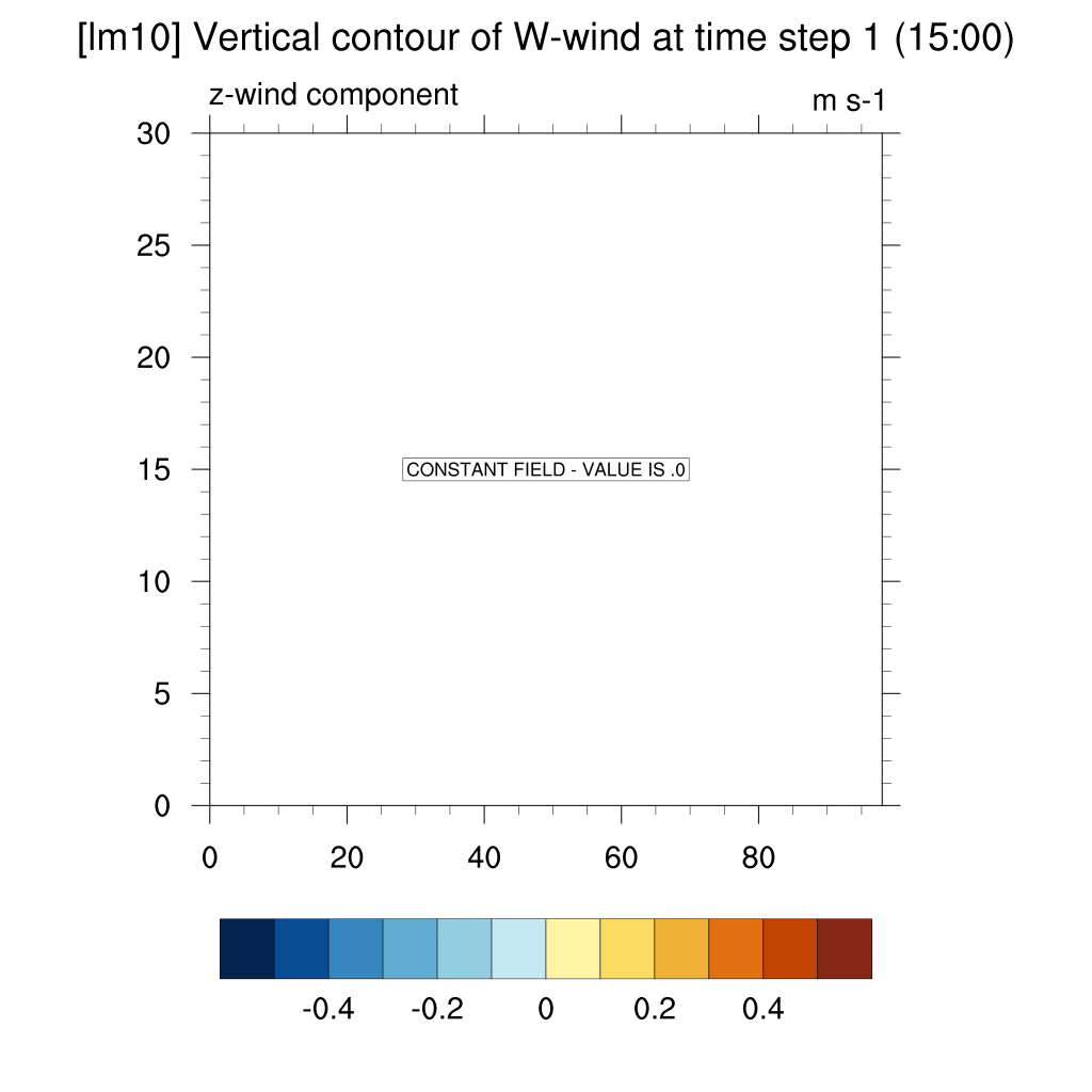
3. Wind Contour (U-wind, W-wind)
4. Average Temperature Series
1. Wind Vector & Temperature Contour
lm = 10 (Urban 20%, 40km)
lm = 25 (Urban 50%, 100km)
lm = 40 (Urban 80%, 160km)


-
As urban size increases, the urban heat island effect further suppresses vertical air convection, causing heat to remain trapped in the atmosphere and continuously elevate temperatures.
2. Vertical Temperature Contour
lm = 10 (Urban 20%, 40km)
lm = 25 (Urban 50%, 100km)
lm = 40 (Urban 80%, 160km)


-
In smaller urban areas, the urban heat island effect is limited, but as the urban size increases, the effect becomes more pronounced.
-
The initiation and dissipation times of the urban heat island effect remain consistent irrespective of urban size.
3. Wind Contour
- U wind (x-direction)
lm = 10 (Urban 20%, 40km)

lm = 25 (Urban 50%, 100km)
lm = 40 (Urban 80%, 160km)

-
When the temperature in the urban center rises due to the urban heat island effect, surrounding air flows into the city center, causing convergence in the low layers of the atmosphere.
-
As the size of urban increases, the width of the area where convergence begins also expands.
-
As the size of urban increases, the point at which convergence shifts to divergence in urban center is delayed.
- W wind (z-direction)
lm = 10 (Urban 20%, 40km)
lm = 25 (Urban 50%, 100km)
lm = 40 (Urban 80%, 160km)

-
When the temperature in the urban center rises due to the urban heat island effect, the converging air in the urban center creates an upwarad flow, forming a dome shape.
-
As the size of urban increases, the horizontal width of the dome-shaped upward flow also expands.
-
As the size of urban increases, the point at which convergence shifts to divergence in the urban center is delayed.
4. Average Temperature Series
lm = 10 (Urban 20%, 40km)
lm = 25 (Urban 50%, 100km)
lm = 40 (Urban 80%, 160km)
![[500m] lm10.png](https://static.wixstatic.com/media/3a20c4_aa1bf67029f64c3f83624b0bf20431ee~mv2.png/v1/fill/w_402,h_184,al_c,q_85,usm_0.66_1.00_0.01,enc_avif,quality_auto/3a20c4_aa1bf67029f64c3f83624b0bf20431ee~mv2.png)
![[500m] lm25.png](https://static.wixstatic.com/media/3a20c4_98b3c317b7fd4c54814e7070d2017527~mv2.png/v1/fill/w_402,h_184,al_c,q_85,usm_0.66_1.00_0.01,enc_avif,quality_auto/3a20c4_98b3c317b7fd4c54814e7070d2017527~mv2.png)
![[500m] lm40.png](https://static.wixstatic.com/media/3a20c4_f70a149c5bbc4d978878e21fae1442aa~mv2.png/v1/fill/w_402,h_184,al_c,q_85,usm_0.66_1.00_0.01,enc_avif,quality_auto/3a20c4_f70a149c5bbc4d978878e21fae1442aa~mv2.png)
[lm10]
-
The current average surface temperature decreases for 3 to 5 hours after sunset and then sharply increases after sunrise. Considering this as the mean value for latitude and longitude, the urban heat island effect is offset, making it appear that there is no heat island effect during the early morning hours on the graph. This suggests that the heat island effect occurs only in localized urban areas. The current average temperature at 500m shows little fluctuation, indicating that the heat island effect is either not significantly pronounced.
* The lower surface temperature compared to 500m is likely due to nocturnal radiative cooling.
[lm25, 40]
-
The average temperature increases sharply from time steps 8 and 10 to time step 15. As the heat accumulated during the day is released at night, the urban heat island effect manifests, and its influence is shown to be regional.